Bathalegala Kanda - Sri Lanka's "Bible Rock"
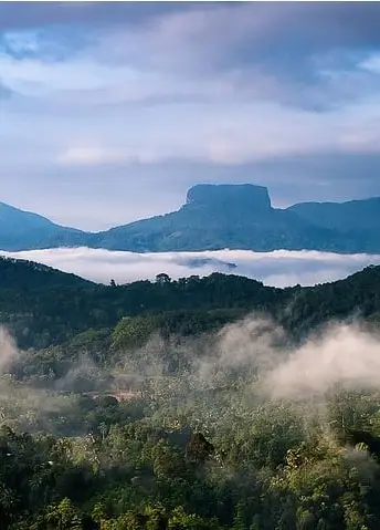
The Bathalegala mountain, reaching to a height of 798 m above sea level, is situated near Aranayake in Kegalle District, Sabaragamuwa Province. People going on the A1 mainroad from Colombo (or the Bandaranaike Airport or Pinnawela Orphanage) to Kandy may recall the serpentine road with the greatest grade, roughly 20 km distant from Kandy. This ancient crossing and the adjoining settlement upland are named Kadugannawa. From Kadugannawa pass you have a wonderfull view to the western mountains. Bathalegala is the the most outstanding mountain in this region, due to its high steep cliffs encircling flat top surface. Bathalegala (also called Batalegala) Kanda was known as “Bible Rock” in the colonial period, since its table rock resembled an open book or inspired visions of how Mount Sinai may look like.
When the Kandy kingdom was threatened by the Portuguese, who were in control of the lowlands in the 16th and early 17th century, the Sinhalese constructed a series of watchtowers on the most noticeable peaks, beginning with Batalagala. The observers on top of Batalagala could easily monitor the Kegalle valley and Kadugannawa pass on the way from Colombo to Kandy. Their alert mechanism was a blaze to be seen from the next mountain, the chain of bonfires stopped at Bahirawakanda, the hill closest to Kandy.
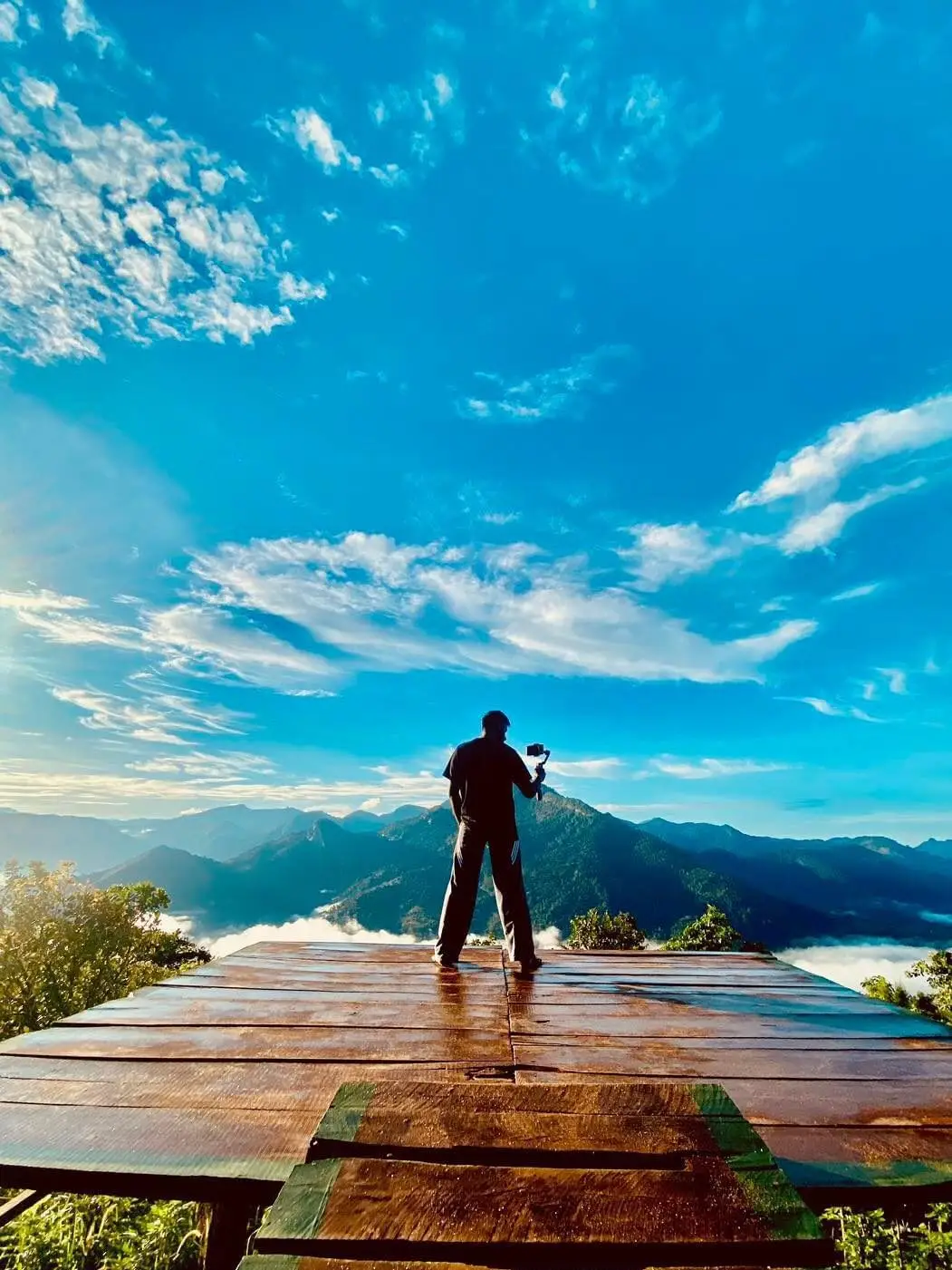
The mountain vista on the plateau of the rock is undoubtedly the most magnificent experience, of course. In case of favorable weather circumstances the entire Knuckles Range may be seen in the north-east, the Ambuluwawa Peak with a contemporary pilgrimage site on top of it is closer-by in the south-east. In the nearby surrounding ara satellite hills such as the sacred mountain Devanagala Kanda in the north-east and Uthuwan Kanda in the north, which is also a great destination for hikers and more simply to access, just half as high. In the south-east is the Ura Kanda, where M.H.M Ashraff, the founder and head of the Sri Lanka Muslim Congress, perished in a helicopter crash.
The summit has been turned into a Buddhist site of worship and a forest retreat (Aramaya) for reclusive monks, albeit typically not occupied, with cave abodes and a tiny dagoba. For the future, a dagoba dome of the size of the record-breaking Kalutara Chaitiya is planned. But a cable car was planned a decade ago and never constructed, some pillars belonging to this abandoned project can still be seen.
Explore US
About BATHLE
For you who are searching for the green world , For you who like to live freely with the leaves of trees, This is the most fitting place🌳❤🥺 .
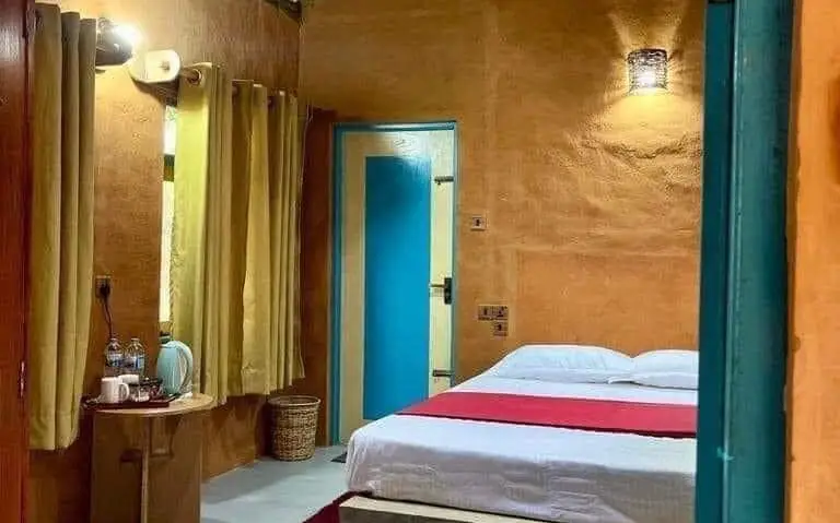
Accommodation
Experience serene eco-friendly living at our beautiful villa. 🏡☘️😍 Enjoy breathtaking views, luxurious comfort, and a variety of outdoor activities.
Stay at BATHLE
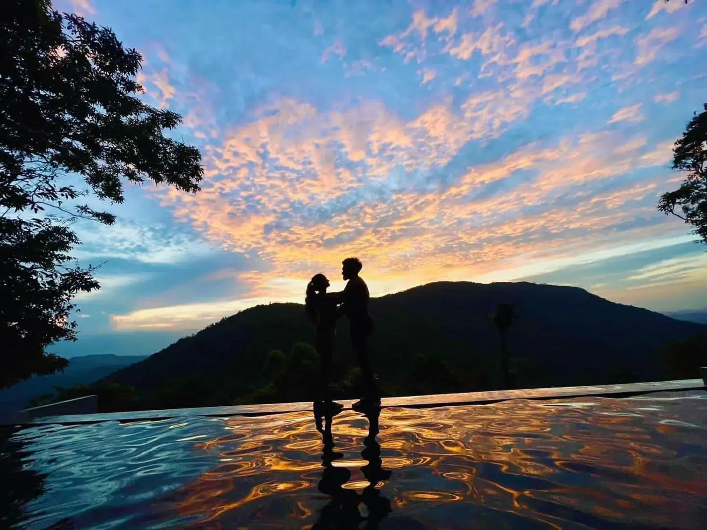
Discover the tranquility of Mawanella ![]() with stunning mountain views and a refreshing natural pool.
with stunning mountain views and a refreshing natural pool. ![]()
![]() Check out the happy moments of our recent guests and create your own unforgettable memories!
Check out the happy moments of our recent guests and create your own unforgettable memories!
See our Gallery
